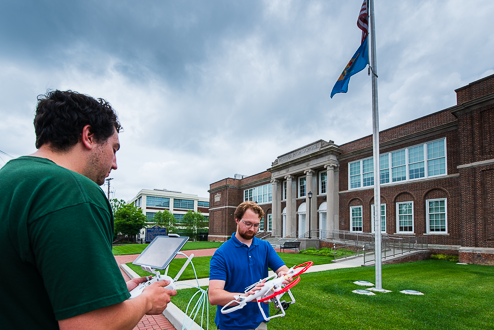
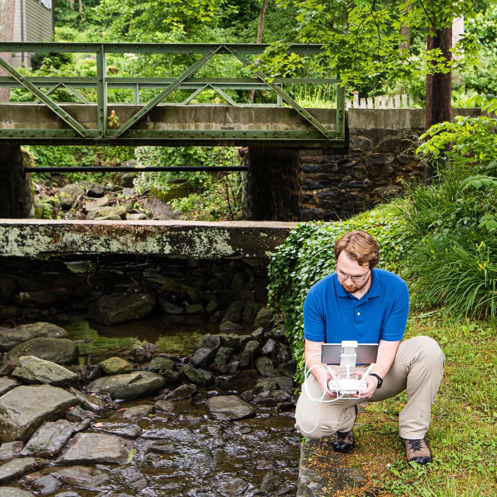
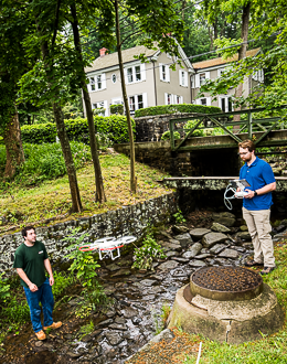
DRONE SERVICES
VanDemark & Lynch takes flight with our new drone services. From structural observations and site inspections to land surveying applications, V&L is proud to offer one of the latest technologies in the engineering and mapping industry. With this new technology, our structural engineers can observe previously difficult-to-reach structures or inaccessible locations on buildings such as roofs, signs, and other appurtenances. Large-scale site inspections and site features can be analyzed in minutes of flight time with our new drone technology. Quantities and volumes of outdoor mineral piles and topographic conditions can now be surveyed and mapped aerially minimizing field time to give our clients another great resource when looking for design and engineering solutions.
Equipped with a Phantom 3 SE unmanned aerial vehicle (drone),VanDemark & Lynch is capable of producing high-accuracy survey plans and aerial imagery for large areas and project sites. With drone surveying technology, we can conduct surveys in a matter of minutes with traditional survey technology would take days. Aerial imagery, topographic mapping, volumetric surveys, and 3D surface models are all products that can be created with the data collected while conducting a drone survey. Our drone pilots are trained in safety procedures and are licensed and insured in accordance with federal regulations.